Later Magazine: Amateurs at Sea

Later Magazine: Amateurs at Sea

Our first sailing related article, "Amateurs at Sea" has been published in Later Mag's most recent issue.

Later is a surf and travel magazine that tops our list of favourites to read cover to cover, so we were excited to be able to contribute to this issue with a story about buying our first boat in Florida and sailing to Mexico.

The magazine is free and available at a list of locations you can find here within Canada, the States and internationally.

Thanks to our friend Eric Greene over at Later for this one! Click read more below to read the entire article.

Nowhere to go, nowhere to be: Sunday, Sailing, Sunset

Nowhere to go, nowhere to be: Sunday, Sailing, Sunset

Finally a day with no worldly obligations. Yesterday we took Edward Blair out to sea with our friends Mack and Lisa. No plan and no need for one. We didn't even know if we were going to head south or north while exiting the marina. Who cares.

I made the decision to sail south away from the wind for a relaxing morning and a more exciting trip of beating into the wind it for the return later in the day.

Route to the Rio: Making Plans for Rio Dulce

The channel for our current marina in Puerto Aventuras, Mexico. When we exit this in May, it will be the last time until we return in winter.

The channel for our current marina in Puerto Aventuras, Mexico. When we exit this in May, it will be the last time until we return in winter.

Making Plans

A couple of total amateurs are planning another adventure at sea. After our first real sail from Florida to Mexico, we're getting ready for the next one, late spring 2015.

Mexico to Belize to Rio Dulce, Guatemala

We're aiming to untie the lines on May 22nd, exactly two years after we were married on the beach in Tulum. This would give us a nice 7-10 day window to explore Belize without taking too much time before storm season shows up, arriving in Rio Dulce around June 1st. We'll stay until late November and begin the passage north back to Puerto Aventuras after hurricane season comes to a close.

Goff's Cay, Belize — 17° 21.00'N 88° 02.18'W

Sure, it's about five months away so planning now might seem a bit eager, but with our work schedules, months seem to disappear and dates approach with speed. 

There is some minor boat maintenance, installing a wind generator our friend from H2Oh Sun Cruises donated to us with a new auto-pilot, route planning and navigational studies, patching the dinghy, and your general provisioning closer to the date.

One night while we were out of town, a drunken tourist couple boarded our boat. The guy took the helm, turning the wheel back and forth pretending to steer while the girl hung off our davits (a system on the stern of the boat used to raise and lower your dinghy from the water) jumping up and down on our dinghy, "Woo! Woooo!" 

Good thing our pal Mack was at the marina and came to the rescue. When he told them to get off the boat, the drunken man got a little verbal and aggressive. Mack put him to the ground, forcing him to call for his girl to hurry up and get off the boat. And that was that. We came back to a dingy, deflated in the middle hanging in a "V" shape to the water. So, we now have a deflated dingy with a few little tears in the seams.

SUCH A THING AS Route Planning TOO FAR IN ADVANCE?

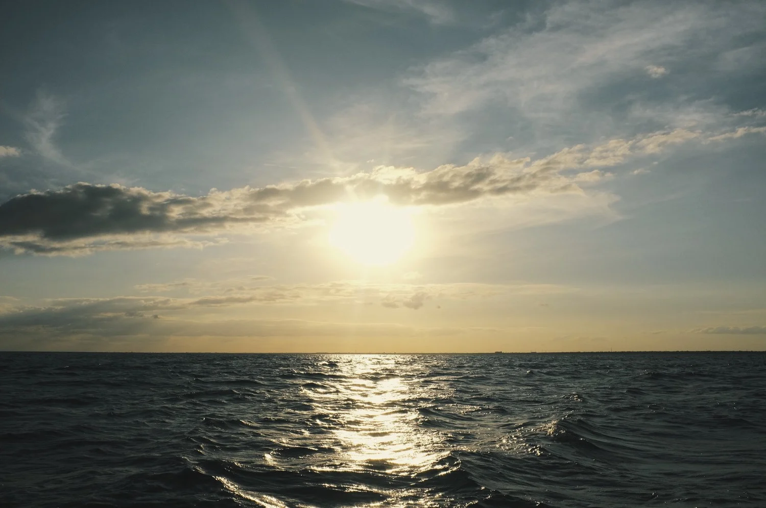
We like to know our routes well in advance and have them memorized as well as possible so while underway recognizing the fixes and horizons doesn't feel like new territory. Especially with all of the shoals, rock and coral along Belize.

We draw 4', so it shouldn't be as much of a concern as others have in the region, but there are still some tricky spots along the reef line. For those not sure what a boat's "draw" means, it's your boat's draft — the vertical distance from the water to the bottom of your boat under water.

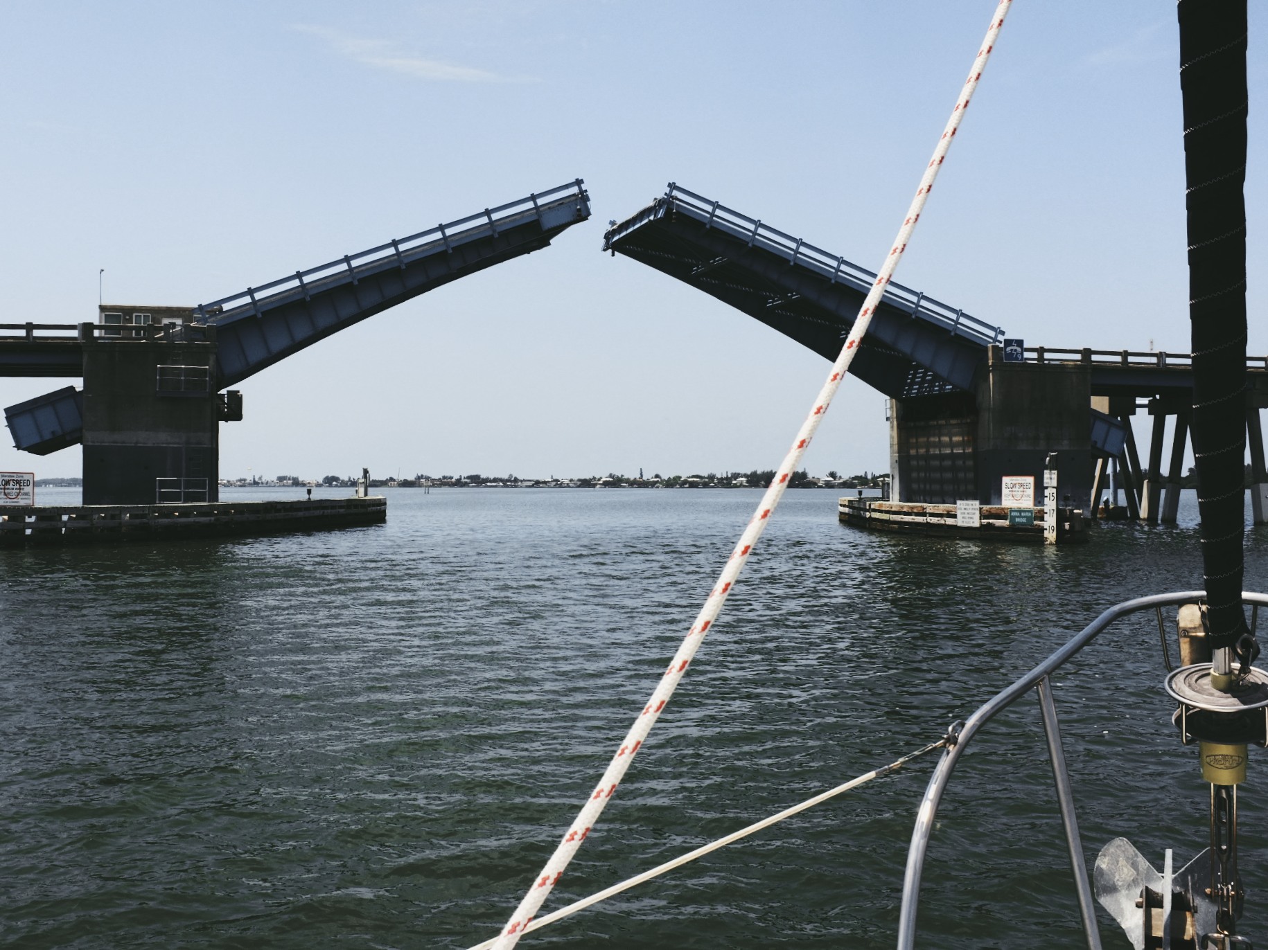
We have paper charts, Freya Rauscher's charts, Navionics (with MacENC), Garmin's BlueCharts and have been referencing ActiveCaptain. Between the lot of them we should have as good a reference of the area as you can without having been through yet. 

The western Caribbean region here doesn't seem to be consistently documented by any of the chart makers, so we've been taking notes of inconsistencies between each from first-hand accounts of other sailors. One may be right at this anchorage, while another has a reef entry a bit too far east.

When we write our own posts for each anchorage along the way I will account for corrected waypoints in the sidebar and any details. This Route to the Rio series, when complete, should help out anyone else heading along the same path.

Plans for rio dulce

  • Haul the boat for a new bottom paint job.
  • Brightwork from some storm damage against a concrete pier (we lost five fenders to the concrete, and then the teak rail became a fender before we were able to fix the problem).
  • Fresh non-slip topside paint job.
  • Eat, fish, drink. Repeat.
  • Work remotely from the boat.
  • Visit interior Guatemala.

We have a growing list of the cays to stop off at along the way, but any suggestions, waypoints or tips for the route or while in Rio Dulce are welcome in the comments or use the contact page!

Photo of the Rio Dulce from Flickr, by Domingo Leiva.

Photo of the Rio Dulce from Flickr, by Domingo Leiva.

Current Location

Puerto Aventuras, Mexico
20° 29.96'N 87° 13.45'W

Required Reading

To Belize and Mexico's Caribbean Coast

Capt. Freya Rauscher's is the go-to guide covering the region from Mexico's Caribbean coast all the way down to the Rio Dulce. She covers Honduras a bit as well, but that's not on our itinerary, so we'll leave it out of anything we cover.

Click the image above to buy her guide on Amazon.

Active Captain

While the guide book is our main source of well documented information about the different regions, Active Captain works as great supplementary content. Double checking all of the anchorages in Active Captain has already corrected a waypoint error I was wondering about off in Capt. Rauscher's book while entering Banco Chinchorro, which you can see by clicking here.

Short Film: Home Ground

This short film explores a world, weather and landscape that looks like the exact opposite of where we are. Press play and enjoy the beautiful landscapes between Iceland and Greenland, which somehow makes you want to go get cold and explore the north.

Film Description

'Home Ground' is a short anthropological film exploring how two very different, but geographically close, cultures relate to one another within a striking and vast natural landscape.

Featuring Siggi the Icelandic sailor and Dines the Greenlandic hunter.

Credits

An independent film by James Aiken
Cello by Midori Jaeger
Sound design and composition Jacob Smith
Titles Studio Beuro
Filmed aboard Aurora Arktika

The Scraps: Photos from Along The Way

Welcome to a pile of random images, in no particular order or fashion, that just never made it into a post anywhere.

They are from our recent crossing. 

Bridges on the Intracoastal Waterway, sunsets along a coast, cats on islands and abandoned forts in the middle of nowhere...